Island
July 2020: Michael's email michaelgalbreth@gmail.com has been hacked. Any messages received from that email are illegitimate.
The Human Tour
an anthropomorphic route through the city of Houston
1982/1987 - ongoing
"To become human, a city must have no proper intentions." - Jean-Marie Gustave le Clézio
The Human Tour is a a permanent project designed for Houston and is dedicated to a more human city.
The Human Tour was first conceived in 1982 as an exploration about scaled images using computers. The selected image was that of an outlined frontal view of a male figure. Experiments included reducing the image to fractions of its original size and enlarging it to gigantic proportions. These experiments were designed to investigate the limits of the computer’s abilities to plot very large and very small images. Although the computer was able to understand very large coordinated, it was obviously unable to plot such a huge picture because of the small plotter. Several of these “non-plots” were executed in 1982. Later, the original drawing of the figure was superimposed on a map of Houston. The contours of the figure were adapted to the streets of Houston so that if a drawing of this size were realized, the participant could actually experience the drawing by driving it. Thus an anthropomorphic “driving drawing”.
The Tour travels through a cross-section of communities in Houston’s inner city including such historic districts as the Fourth Ward and the Near North Side as well as burgeoning neighborhoods such as “Chinatown” and the East End. It became evident that the significance of the project was not merely a formal realization of a large drawing, but rather the opportunity for the participants to experience parts of Houston that may have otherwise been unfamiliar to them. The focus then shifted from the formal to the social aspects of the project, and in turn, the implications and responsibilities this brings with it. It is hoped and anticipated that this simple act of driving through different parts of the city will bring about greater awareness to the challenges facing Houstonians and initiate an educational process that will contribute to the humanization of Houston. This is the reason for and the goal of The Human Tour.
This map and the permanent road markers (places at the extremities of the figure: the head, the hands and the feet) are part of the first realization of The Human Tour. Further plans include painting the entire route in such a way as to be visible from the air. Also planned are events and projects that will address issues such as pollution, over-population, housing, transportation, communication, and education.
The Human Tour is dedicated to the most idealistic scenario, a utopian view that sees a solution to each of these problems. When this occurs, communication (from the Latin “a shared space”) will replace transportation. And on that day all of the streets of Houston will be closed except for those of The Human Tour which will be left as a testament that Houston has become the Human City.
Have a safe trip!
—Michael Galbreth, 1987
[The above text is from the original Human Tour map, 1987 (see below)]


The Human Tour
maps with tour route and neighborhood histories
Updated Human Tour directions are kindly provided by Shay Hill. Updated and posted on July 1, 2018.


The Human Tour, original map, 1987
The Human Tour original tour map text is kindly provided by Shay Hill. Posted on July 1, 2018.
The Human Tour
initial installation and debut, 1987
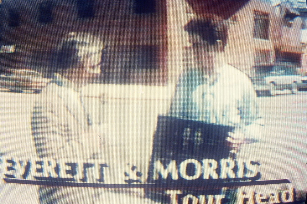
The Human Tour - interview on Good Morning Houston, ABC Channel 13, 1987

"A walk on the human side," Houston Chronicle, March 15, 1987
The Human Tour, historical road markers (selected installation images), 1987

original plaque design 1987 graphite rubbing for approval, fabricated by Southwell Co., San Antonio

holding aluminum plaque for head of figure 1987 fabricated by Southwell Co., San Antonio

aluminum plaque 1987 plaque installed at head of figure, Everett at Morris

aluminum plaque 1987 plaque installed at right hand of figure, Wichita at Austin

aluminum plaque 1987 plaque installed at right foot of figure, Alice at Scott

aluminum plaque 1987 plaque installed at left foot of figure, Paris at Hull

aluminum plaque 1987 plaque installed at left hand of figure, Lockwood at Munger

aluminum plaque 1987 holding plaque for head of figure, Everett at Morris, interview for ABC 13 News
The Human Tour, painted human silhouette route markers (selected images), 1987

1987 route marker, blue painted figure stenciled on street

1987 Jack Massing and Scott Carpenter painting route marker, blue painted figure stenciled on street

1987 route marker, blue painted figure stenciled on street

1987 plywood stencil used for painting route marker on street

1987 route marker, blue painted figure stenciled on street

1987 Jack Massing and Scott Carpenter painting route marker, blue painted figure stenciled on street
The Human Tour, exhibition at DiverseWorks, 1987

exhibition invitation front and verso 1987 xerography and rubber stamp 4 x 6 in.

exhibition at DiverseWorks 1987 plaque blueprints, slow scan TV systems

exhibition at DiverseWorks 1987 title wall with painted road marker use on streets

exhibition at DiverseWorks 1987 plywood stencils for painted road markers on streets

1987 slow scan video system camera at right hand location, Austin Street at Wichita Street

exhibition at DiverseWorks 1987 details, slow scan video system monitor
The Human Tour, 1987, other images and documents

budget 1987

letter from the City of Houston granting permission to place historical plaques 1987

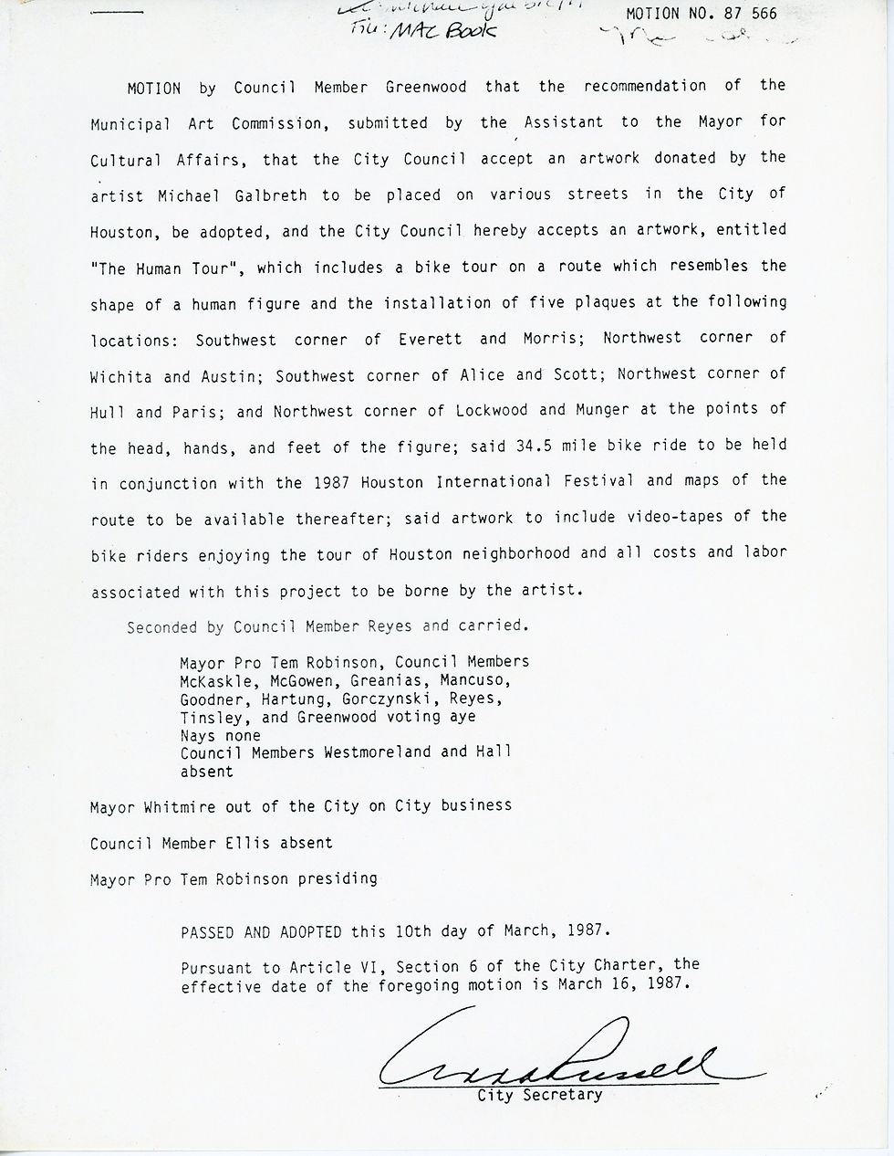
document from the City of Houston accepting The Human Tour for the city art collection 1987

original map used to design the route 1982

graphic image used for Human Tour map 1985

1987 US Geological Survey Maps

1983 Hand to Mouth

1988 proposal sketch for adaptation for Amsterdam
The Human Tour
original concept proposal, 1982

original project proposal 1982 cover page

original project proposal 1982 project description

original project proposal 1982 tour route

original project proposal 1982 tour route (continued)

original project proposal 1982 project statistics

original project proposal 1982 human figure study used for project

original project proposal 1982 image indicating location of plaque for right foot of figure, Scott at Alice

original project proposal 1982 image indicating location of plaque for head of figure, Everett at Morris

original project proposal 1982 image indicating location of plaque for right hand of figure, Wichita at Austin

original project proposal 1982 image indicating location of plaque for left foot of figure, Hull at Paris

original project proposal 1982 image indicating location of plaque for right hand of figure, Lockwood at Munger

original project proposal 1982 tour map

original project proposal 1982 neighborhoods

original project proposal 1982 tour map, detail Neighborhood Improvement Planning Program map, Central Business District

original project proposal 1982 tour map, detail Neighborhood Improvement Planning Program map, streets in poor condition

original project proposal 1982 tour map, detail Neighborhood Improvement Planning Program map, Washington existing land use

original project proposal 1982 tour map, detail Neighborhood Improvement Planning Program map, Midtown, Fourth Ward - Streets Less Than 28 Feet Wide

original project proposal 1982 marker study

original project proposal 1982 marker study
The Human Tour
updates and new realizations


